One metre interactive grid (long lat) superimposed on a map

People,
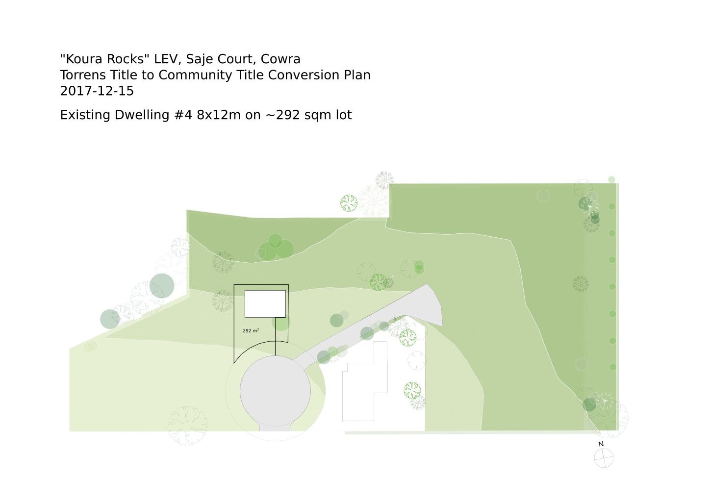
I have done a bit of Googling but am a little overwhelmed about where to start but I thought Inkscape people might have a better idea. I want to add an interactive 1 sqm grid to the attached plan. I have the original as a SVG file but it is too large to attach - I imported it from a PDF file for use in Inkscape. I want the grid to be square with longitude and latitude (maybe the maybe should be rotated) such that people could click a rectangle of squares to indicate a proposed new building lot on the site.
Is SVG the right tool to build such an interactive map for a web page?
Thanks,
Phil.

Hi Phil, I probably can't give you a good answer. But since there haven't been any other replies, I thought I'd add at least a comment.
I don't know if SVG is the "right" or "best" tool for this. But it certainly is a capable option! See this page for an overview of different approaches to animation or interactive SVG webpages: https://inkscape.org/en/learn/animation/
I've tried XIA, which iirc produces html5 files or pages. It's an Inkscape extension. Unfortunately, I recently heard that it's not working on Windows with the current stable release 0.92.2. But just for reference, I found it easy to use (simple graphic interface) with adequate tutorials from its website.
There are many other options covered there -- some Inkscape extensions, some standalone, some with graphic interfaces, some written by code ("API"??)
Good luck, brynn
-----Original Message----- From: Philip Rhoades Sent: Thursday, December 14, 2017 1:26 AM To: Inkscape User Community Subject: [Inkscape-user] One metre interactive grid (long lat) superimposed on a map
People,
I have done a bit of Googling but am a little overwhelmed about where to start but I thought Inkscape people might have a better idea. I want to add an interactive 1 sqm grid to the attached plan. I have the original as a SVG file but it is too large to attach - I imported it from a PDF file for use in Inkscape. I want the grid to be square with longitude and latitude (maybe the maybe should be rotated) such that people could click a rectangle of squares to indicate a proposed new building lot on the site.
Is SVG the right tool to build such an interactive map for a web page?
Thanks,
Phil.
participants (2)
-
 brynn
brynn -
 Philip Rhoades